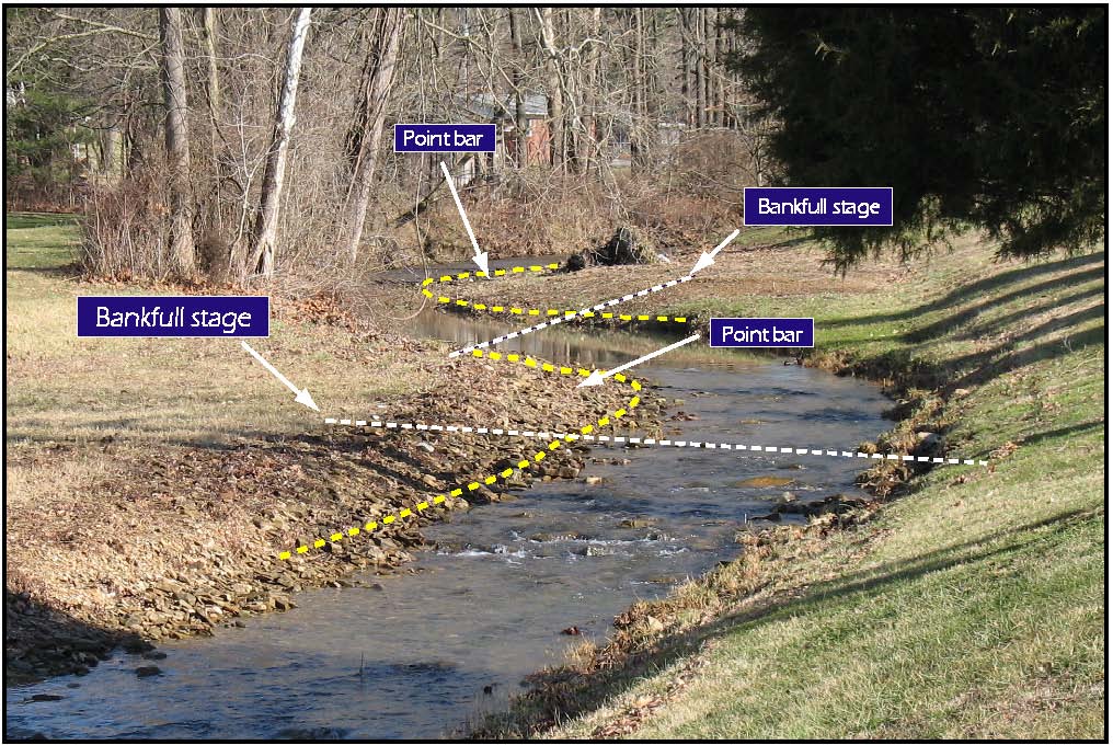
Bankfull indicators may be found at a variety of positions along any given channel reach; however, it is advantageous for the field investigator to recognize the channel locations where bankfull indicators have the greatest chance to develop and be preserved. Along most meandering streams, it is wise to focus the search for good indicators of bankfull stage on the inside of meander bends and along straight channel reaches. In some cases, a point bar that forms along the inside of a meander bend will rise in elevation to the level of the floodplain. In these cases, the level top of the point bar is a good indicator of bankfull stage.
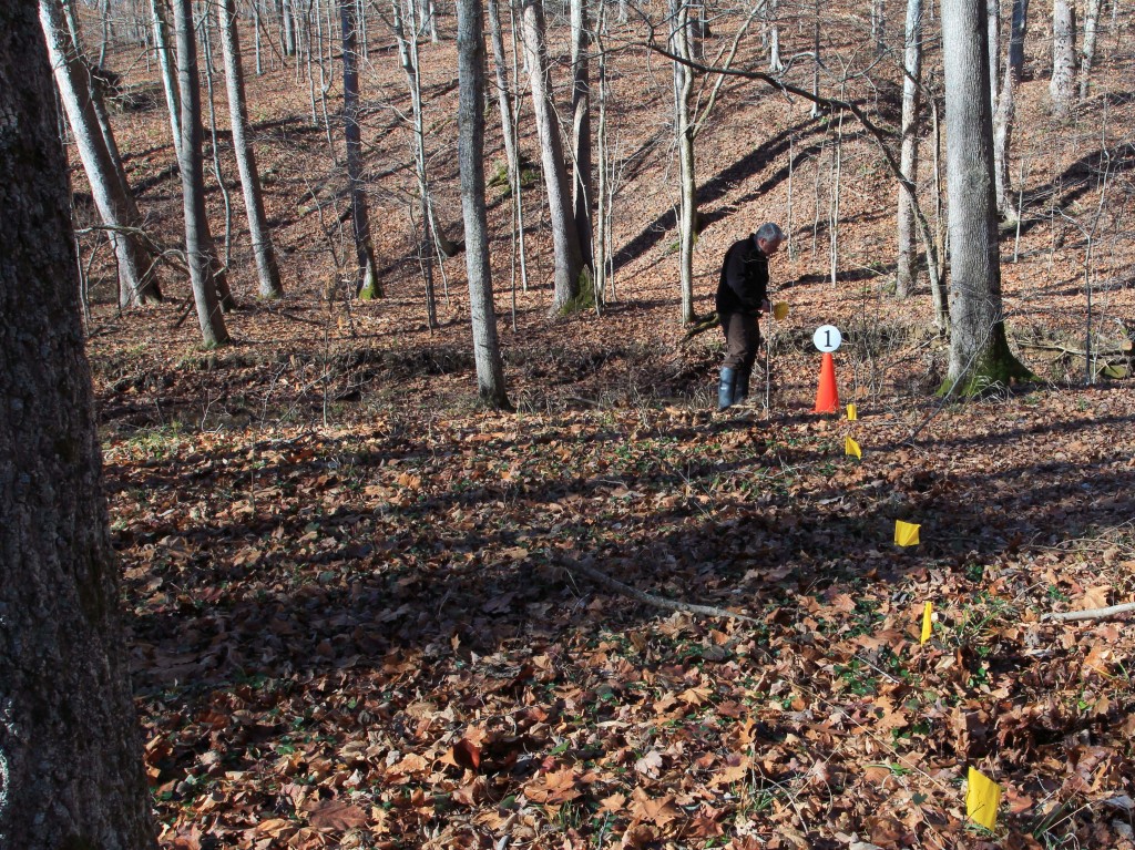
To help define the zone where you may find field indicators of bankfull stage, it is often wise to begin on the fluvial plain (or valley flat) and well outside of the active channel. From this location, slowly walk toward the active channel while evaluating local topography, sediment, and vegetation changes along your path. Place a field marker when you reach the last location where you are certain you are above bankfull stage.
Next, move to the channel’s thalweg and face the fluvial plain you just traversed. Slowly walk away from the thalweg and look for changes in local topography, sediment, and vegetation. Place a field marker at the first point in the active channel where you see evidence you may be exiting the active channel.
The placement of these two markers will allow you to recognize the zone where bankfull is most likely to be identified.


